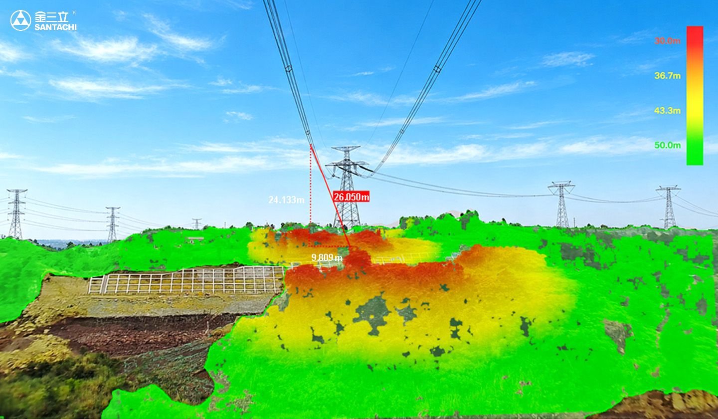
High-Precision 3D Risk Clearance Measurement
2D Monitoring Generates Excessive False Alerts
Traditional monitoring relies on 2D image detection and can effectively identify machinery, vehicles, or vegetation, but has limitations in accurately quantifying their spatial clearance from conductors, making precise clearance measurement difficult and potentially leading to repetitive or less actionable alerts.
Conventional Ranging Systems Are Difficult to Deploy
Millimeter-wave radar and laser ranging systems often require complex installation and calibration, provide limited coverage, have relatively high power consumption, and involve higher deployment costs, making large-scale application difficult.

Solution:Upgrade from target detection to quantified clearance assessment for precise external threat warning.

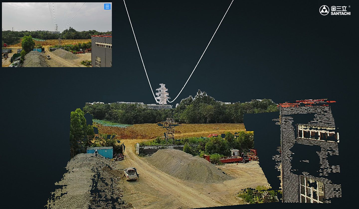
Real-time 3D Point Cloud Modeling
Use a binocular multi-focal stereo-vision architecture to reconstruct high-precision 3D point clouds of conductors, corridors, and risk objects in real time.

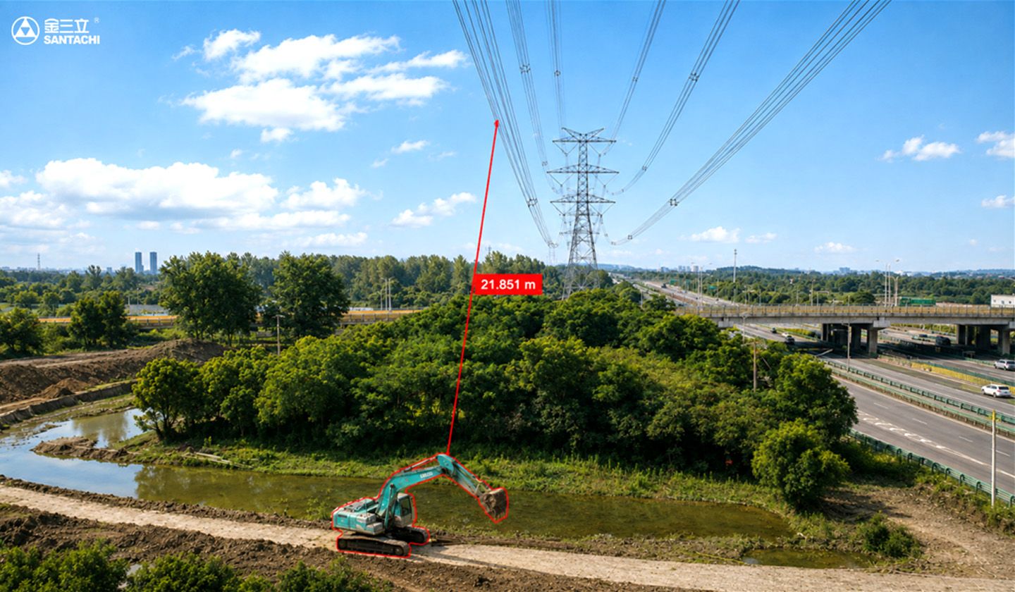
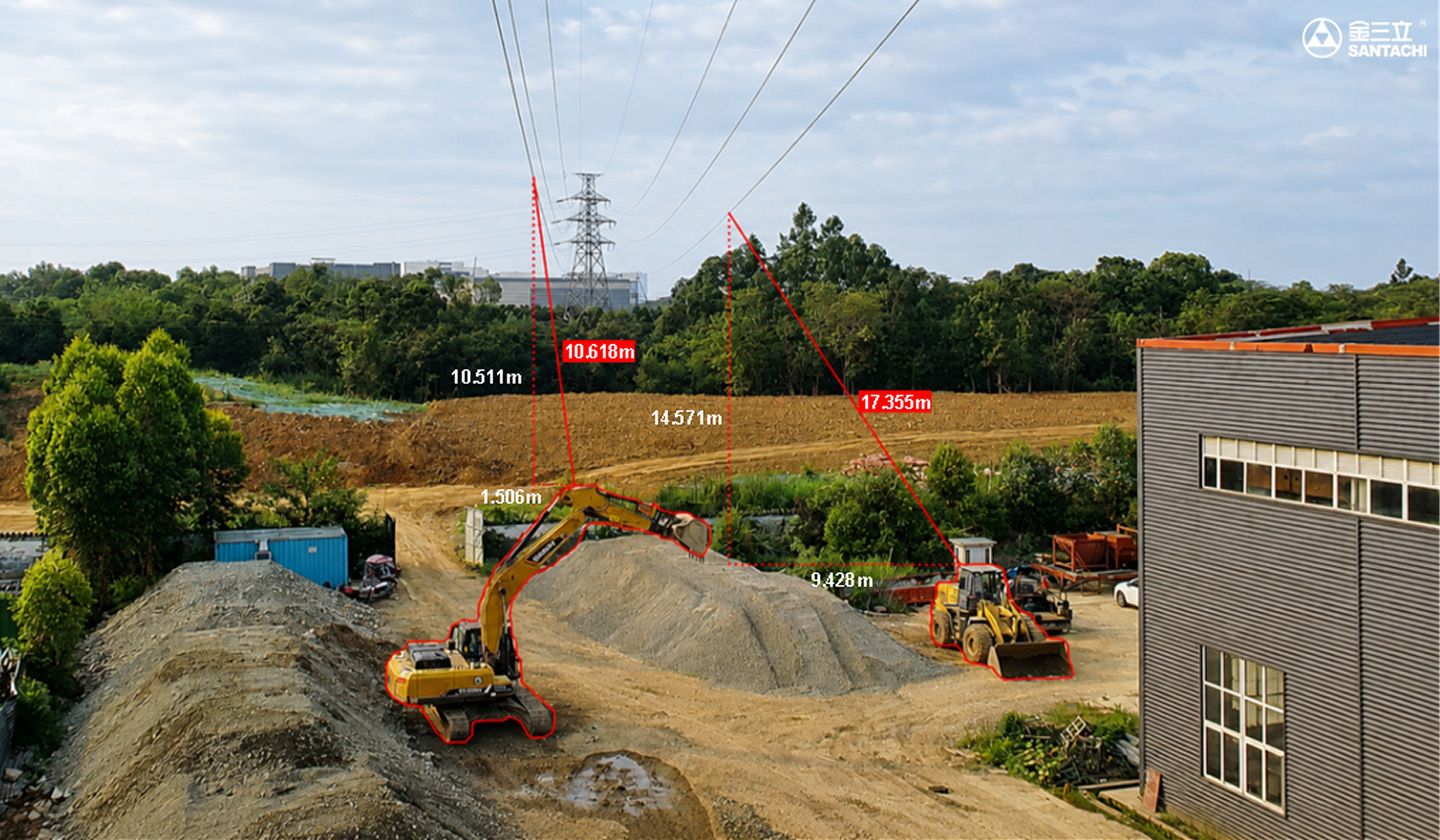
Minimum Safety Clearance Measurement
Calculate the minimum clearance between conductors and construction machinery, vehicles, or vegetation in real time, with a measurement error below 1%.
Upgrade monitoring from target detection to quantified risk, reducing 2D false alarms and subjective bias, enabling accurate grading and rapid response; no complex calibration or costly equipment, lowering deployment and O&M while improving line safety.
Fewer False Alarms
Fewer False Alarms
Clear Risk Levels
Clear Risk Levels
Contact us for more details

Risk Grading & Alert Management
Assess and classify external threat risks based on spatial relationships and change trends between targets and conductors, enabling graded alerts and more refined risk management and response.
Easy Deployment
Easy Deployment